Heading for Hoverla through primeval forests of the Chornohora
-
Difficulty
Strenuous -
Distance
14 km -
Duration
12 h
-
Dam on the Ustie-Brebeneskula
48.0966, 24.4647
Having passed 650 m below the influx of the Brebeneskul Stream into the Hoverla River, we see an artificial reservoir, popularly called “hat” or “kliauza”. Almost a century ago, the reservoir was arranged for timber rafting. In the past, the area of water surface of the reservoir when fully filled reached 5 hectares.
-
Rest area
,
Having walked 4.8 km, we are approaching the rest area equipped near the bridge over the Hoverla River (990 m a.s.l.). Behind the bridge, a phenological station is located, where seasonal phenomena in plant life are regularly observed.
-
Monitoring area
,
5,450 m far from the beginning of the route, the forest trails cross. On the left, the trail leads to a monitoring research area, where comprehensive environmental investigations are conducted throughout the year.
-
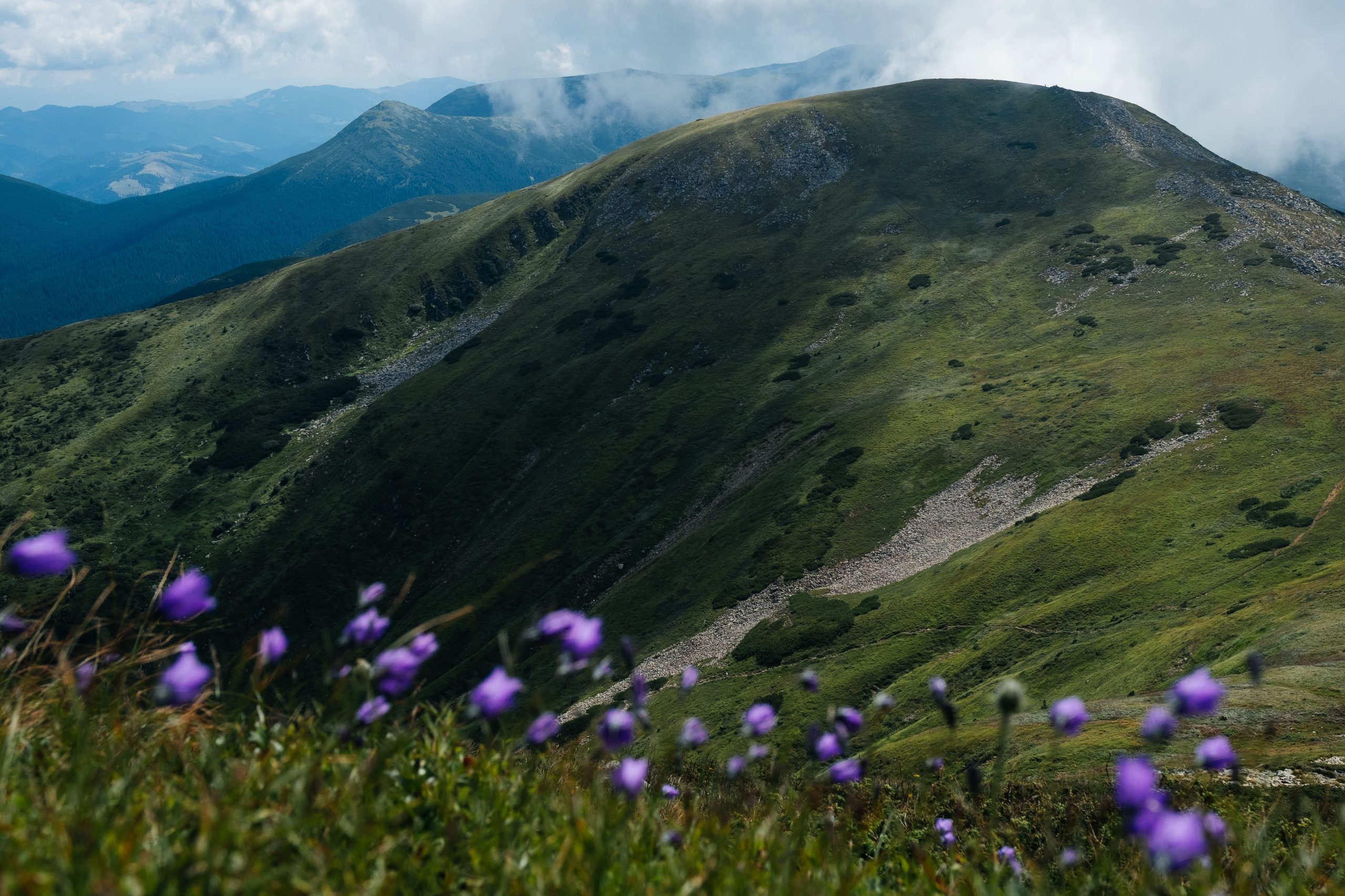
Bretskul Montane Meadow
48.1458, 24.48374
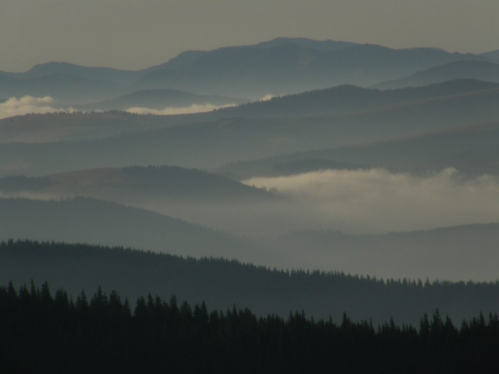
Leaving 7,300 m behind, we are reaching the Bretskul Montane Meadow. This place reveals a magnificent panorama with a view of Mount Petros (2,026 m), the second highest peak of the Ukrainian Carpathians. Here, it is seen clearly how the vegetation belts change with height. The territory of the Bretskul Montane Meadow is a meadow of anthropogenic origin that emerged after forest cutting. Cattle were grazed here prior to the creation of the reserve.
-
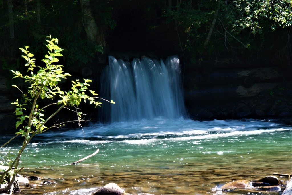
Crossing the Hoverla Stream
,
At an altitude of 1,480 m the trail crosses the Hoverla Stream which rushes down a steep slope in the middle of a narrow stone gorge roaring through a cascade of natural ledges.
-
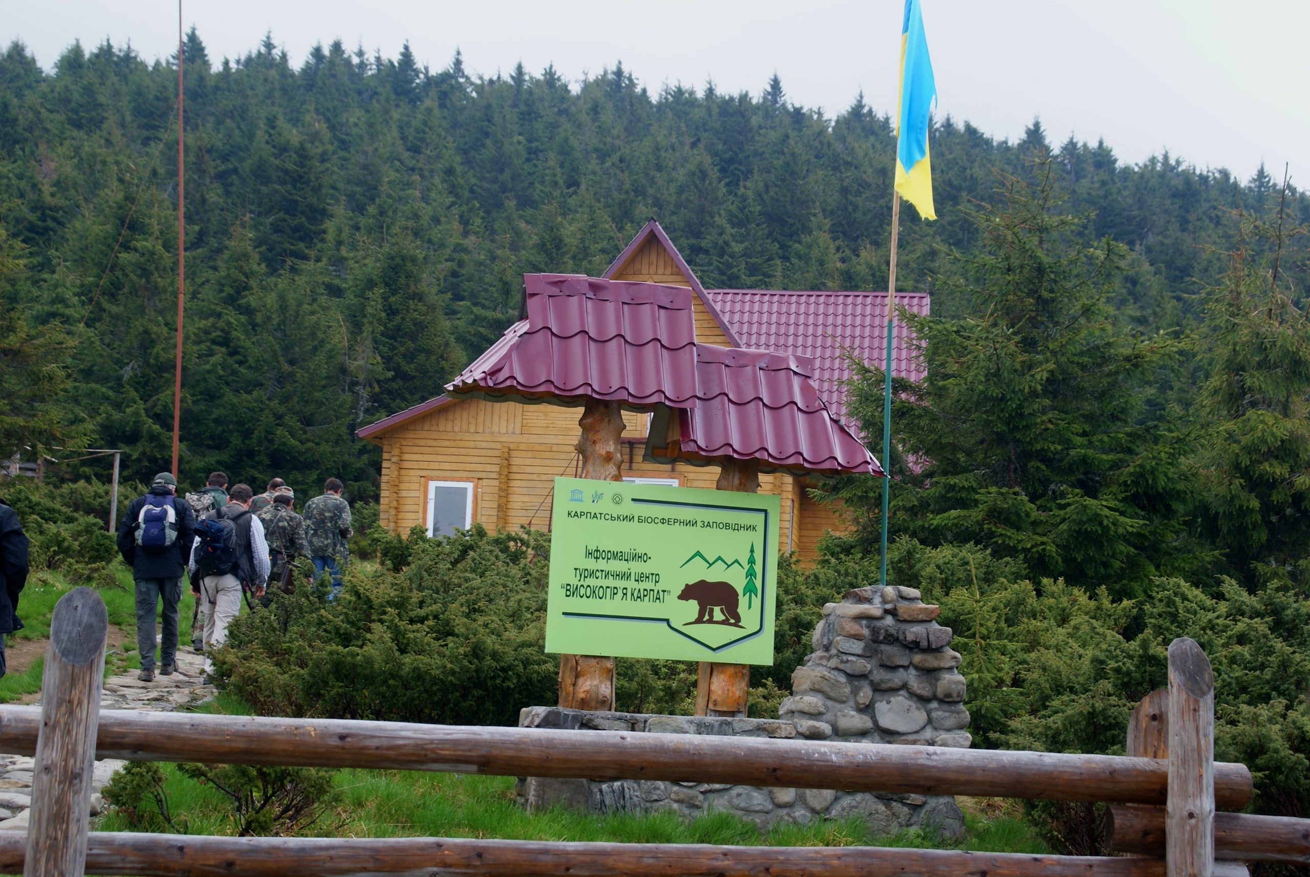
Peremychka Tract

48.1602, 24.46792
Having passed 10,800 m from the beginning of the route, you will reach the Peremychka Tract. The trail approaches an alpine path, leading to the left in the direction of Mount Petros, and to the right – in the direction of Mount Hoverla. In this place the building of the Carpathian Biosphere Reserve is situated, which is used as a scientific, ecological and environmental education base.
-
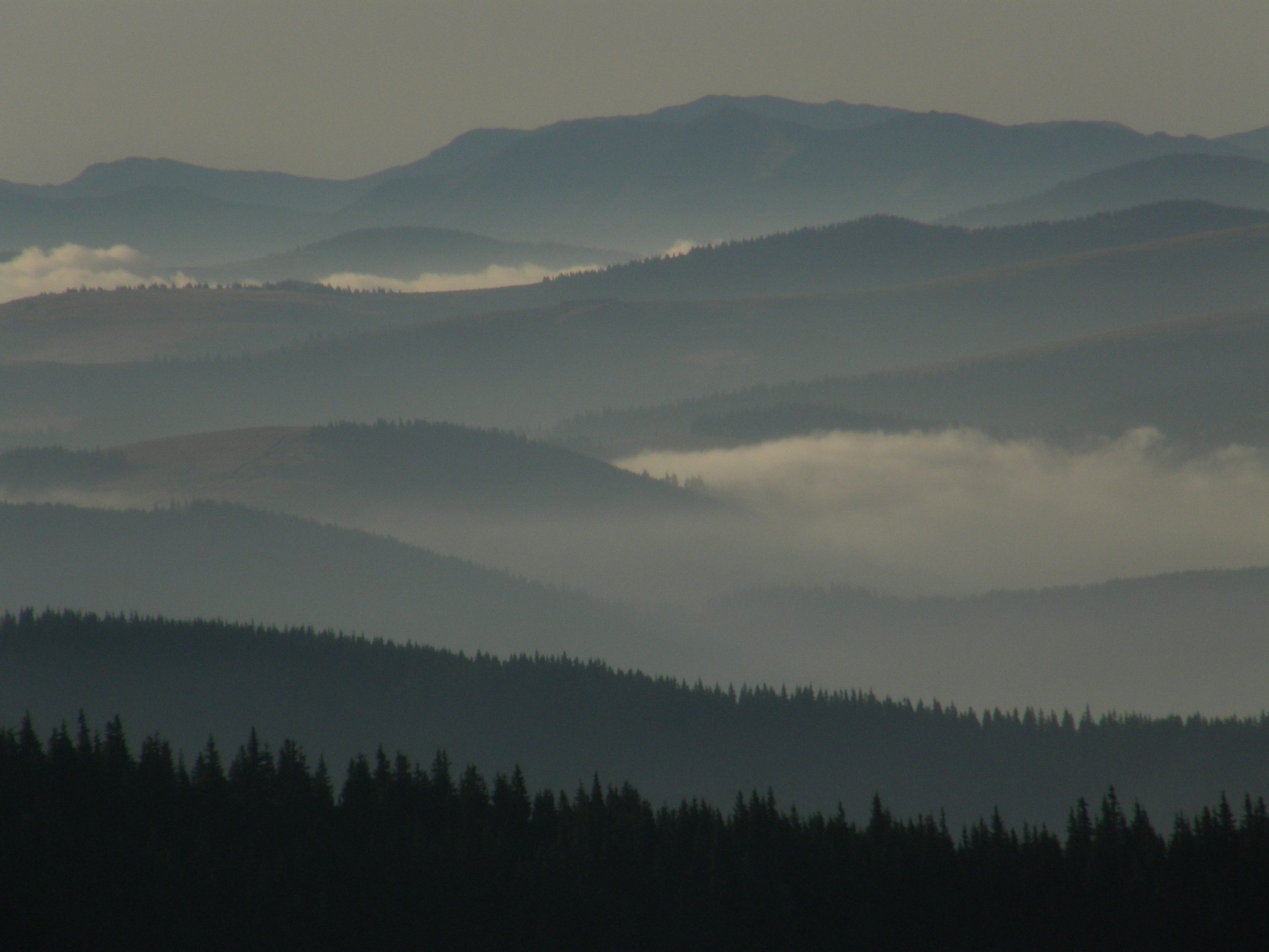
Upper forest margin
,
At an altitude of 1,600 m the upper margin of the forest is located. It offers a majestic view of the subalpine and alpine highlands. Extensive areas of alpine spruce forests can be seen below. At altitudes of 1,400-1,500 m, 100-year-old spruces are only 12-15 m high, and near the upper forest margin they are even smaller – 4-5 m high.
-
Peak of Mount Hoverla

,
Having climbed 13,500 m at an altitude of 2,061 m, you will conquer the highest peak of the Ukrainian Carpathians – Mount Hoverla. The border between Zakarpattia and Ivano-Frankivsk regions passes here. More than 70% of the area of Hoverla slopes belongs to the territory of Zakarpattia. Starting from the peak of Hoverla and along the Chornohora range to Mount Brebeneskul (2,020 m), the Carpathian Biosphere Reserve directly borders the Carpathian National Nature Park.
Deviation from the route.
Damage to natural objects.
Breeding hearths in places not designated for this purpose, smoking when passing through forests.
Felling and damage to trees plucking flowers, collecting medicinal plants.
Hunting for animals, destruction of their habitats.
Catching fish by any means.
Stay with firearms.
Territory littering, noise.
Report to the Ministry of Emergencies before you go on a hike, so that rescuers can find you quickly and in time if something happens. This requires only two steps:
-
Fill out the online form
Fill in the online form to inform the mountain search and rescue units about the planned trips to the mountains.
Online form -
Save the contacts of rescue units
Make a note in your mobile phones of the mountain search and rescue units of the area in which you are going to travel.
Contacts of divisions